 |
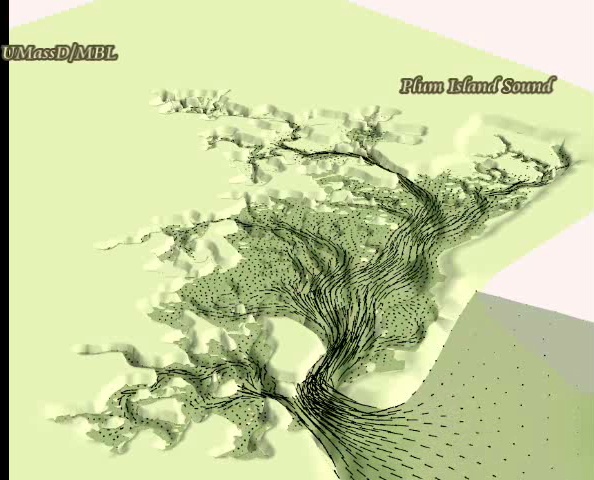
Here is a simulation showing
velocity field and flooding and drying of
the marsh platform. The marsh topography data were obtained from a
LIDAR flyover. Bathymetry data are based on GPS surveys of tidal creeks
combined NGDC bathymetry surveys.
Click image on left to
download and AVI movie
file. The simulation uses an older modeling domain that does not
include the Merrimack River and its connection to PI Sound via PI
River. File is 12.6 MB. |
 |
 |